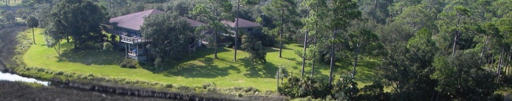
Planning for sea level rise involves communicating possible future changes in an understandable way. One of the most compelling techniques is video simulation. For this project, and as part of a master’s degree final project, UF landscape architecture student Brad Weitekamp created sea level rise simulation videos for the Matanzas Basin using bird’s eye aerial photographs, geographic results of “open water” habitat from the Sea Level Affecting Marshes Model (SLAMM), image editing software, and time-lapse movie making software. The resulting simulation of incremental zero- to three-feet rise in sea level at Marineland and Pellicer Creek are shown below. The sea level rise simulations are a simplification for visualization and communication purposes, and they do not reflect other changes that may occur such as habitat responses, coastal dynamics from storms, or structural protection measures. The simulation videos were presented at the project’s community workshops held in early December.
Monthly Archives: December 2012
Importance of the Project
In the video below, several project Steering Committee members explain (1) why the Matanzas Basin is special and (2) the importance of planning for sea level rise in the area.
Members appreciate the Matanzas Basin’s intact ecology and ecosystem services. Ed Montgomery, Director of Rural Properties at Rayonier timber company, sees the area’s value holistically, believing that “the Matanzas estuary creates harmony with the whole natural system we live in. It’s a living system that people understand”. The people and built environment are also valued assets to the community. The wealth of culture is worth preserving according to Jackie Kramer, with Friends of the GTM Reserve.
Steering Committee members state that the project is important because it considers the impacts of sea level rise not only on the natural environment, but also the built environment. Doug Davis from Fletcher Management Company notes the project is important because it tries to answer the question: “How can we adequately prepare [for sea level rise] so businesses and residents can continue to enjoying the special resources?”
Click on the video below to watch the entire Steering Committee interview.
We also want to recognize
Videographer: David C Montgomery, http://www.silverfishcloset.com
Music: Tina E Andrus, Country Morning Espania, archive.org
Workshop Presentations
Thank you to everyone who came to the Matanzas sea level rise planning workshops last week. A total of 100 people participated. We appreciate your time and effort, especially since the workshops were highly interactive. The workshop agenda was:
- Welcome by Dr. Michael Shirley, Director of the GTM Research Reserve
- Participant keypad polling led by Ms. Emily Montgomery, Coastal Training Program Coordinator for the GTM Research Reserve
- Project Introduction, Findings and Strategies by Dr. Dawn Jourdan, Collaboration Lead, and Dr. Kathryn Frank, Principal Investigator
- Matanzas Basin Visioning large group exercise led by Emily Montgomery
- Adaptation Strategies Game small group exercise developed by Ms. Briana Ozor, UF Graduate Student
- Posters and maps: Project Overview, Study Area, Low-Lying Places, Sea Level Affecting Marshes Model, and Impacts and Adaptation Strategies
The project team will summarize participants’ adaptation planning preferences and post the summary to this website. We will bring these results together with those of other stakeholder group workshops in the spring, and the information will inform the next year of planning to develop future land use scenarios and an adaptation strategies toolbox for the region. We look forward to seeing everyone again as the project progresses.